Mis en œuvre depuis 2021 par les frégates de surveillance, les patrouilleurs hauturiers et certains sémaphores de la Marine nationale, le SMDM [Système de mini-drones de la Marine] a donné pleinement satisfaction jusqu’à présent. Conçu par Survey Copter [filiale...
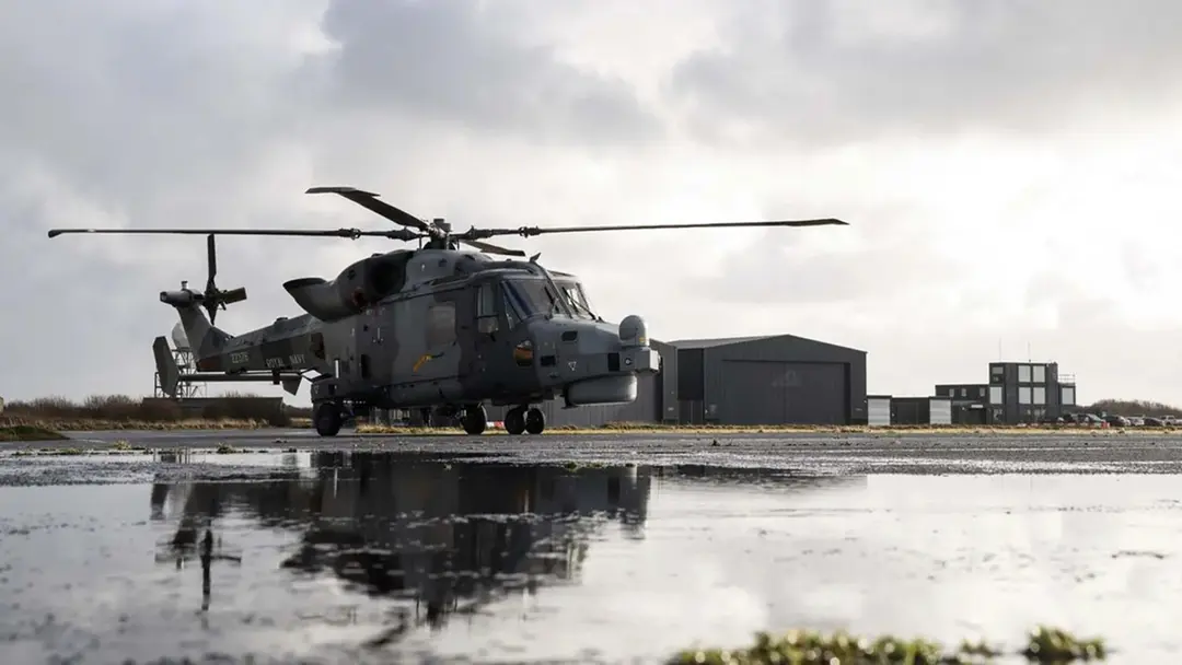
The UK’s Royal Navy has successfully transformed one of its Wildcat helicopters into an airborne command hub capable of receiving and managing live data from multiple drones during flight. The Wildcat helicopter crew utilized real-time information from two...
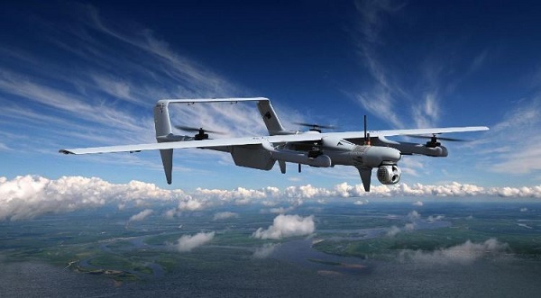
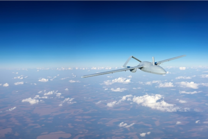
LONDON, United Kingdom., Feb. 2, 2026 – Viasat, Inc. (NASDAQ: VSAT), a global leader in satellite communications, today announced its next-generation satellite service portfolio engineered to meet the evolving demands for government uncrewed aerial vehicle (UAV)...
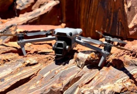
Mining company Austin Metals has begun a high-resolution drone imagery and field mapping program at its Austin Gold Project in Western Australia. The company says the imagery and mapping, along with rockchip sampling, will lead to enhanced target identification. “It...
Designers are looking to reduce the cost of drone systems for a wide range of applications but still need to provide accurate positioning data. This however is not as easy is it might appear. There are several satellite positioning systems, from the U.S.-backed GPS...
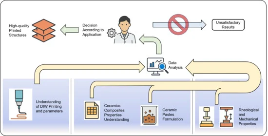
In additive manufacturing technologies, the use of pastes and inks based on materials such as clay to create three-dimensional objects layer by layer has opened new possibilities in fields such as engineering and biomedicine. This review article aims to provide a...