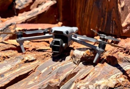
Mining company Austin Metals has begun a high-resolution drone imagery and field mapping program at its Austin Gold Project in Western Australia.
The company says the imagery and mapping, along with rockchip sampling, will lead to enhanced target identification.
“It was very pleasing to be on site as the company commenced Phase 1 activities in the Northern Zone of the Austin Gold Project, capturing high-resolution drone imagery along key BIF [banded iron formation] trends at Brunswick Hill, Mt Sandy, and Golconda Well,” said Austin Metals’ Managing Director, Mike Moore.
Pour en savoir plus : Drone imagery, field mapping for WA gold mine
