
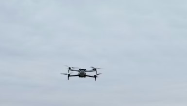
A combination of infrared imaging, thermal imaging and color cameras on an uncrewed drone, along with an AI system to interpret the data, can help emergency responders and search-and-rescue teams locate, identify and track people who have gone missing in the wilderness. The experimental system helps responders pinpoint where a missing person is and determine whether they are hurt or even alive.
People who get lost or hurt while exploring nature can become stranded for days. Rescue teams often use drones to look for the person or signs of their whereabouts. The small drone my colleagues and I built at my lab at Kennesaw State University flies autonomously using a grid search pattern. It sends live video and images to a ground station operated by the rescue team.
Pour en savoir plus : Drones paired with AI could help search‑and‑rescue teams find missing persons faster
