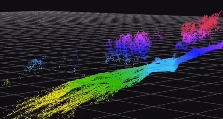
Understanding the severity and distribution of a fire within a forest can assist with estimating and modeling future forest fires. Unmanned aerial vehicle LiDAR (Light Detection and Ranging) technology can be applied in fire risk prediction. A forest fire site was assessed using both high-resolution LiDAR captured from a drone, and satellite optical imagery to appraise the potential of this approach for the future. The findings showed that UAV LiDAR data provided ecologically meaningful metrics which ca
Source : Drone and Satellite Collaboration Has Yielded Unexpected Results – iHLS

