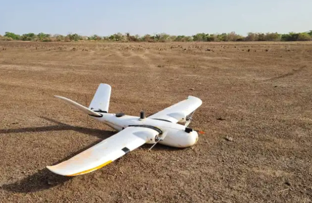
3DroneMapping was appointed as consultants to undertake an aerial survey of a potential lithium mine site in southern Mali. The project comprised a total surface area of approximately 18 000 hectares. The client requested orthomosaics and DTM products be produced.
Control points were placed around the site. These were surveyed to within 20mm accuracy with survey-grade GPS. As RTK was not an option due to long baselines, post-processing of raw GNSS measurements was done.
Source : Drone survey of a Mali lithium mine – sUAS News – The Business of Drones
