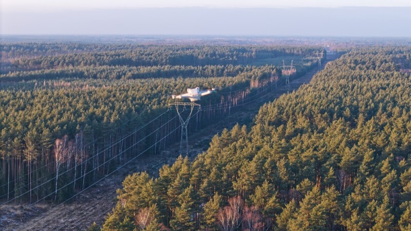
When we think about the use of lidar technology within the commercial drone sector, surveying and mapping comes immediately to mind. There’s good reason for this, as the surveying community overall was among the earliest adopters of lidar, and while applications in autonomous driving have driven the technology forward, surveyors remain near the top of users for the sensors. In fact, in a recent conversation with Trimble Applanix’s Joe Hutton, he noted that they see the largest user base of drone-based lidar being surveyors, specifically for topographic mapping. So there is no doubt that the technology is extremely valuable for these users, and that usage is not slowing down. However, it would be a mistake to think that if you don’t work in that specific field, that lidar is of no use for your applications.
Pour en savoir plus : Three Verticals for Drone-Based Lidar Beyond Surveying and Mapping
